Weather Alert in New York
Special Weather Statement issued September 4 at 2:44AM EDT by NWS Burlington VT
AREAS AFFECTED: Northern Franklin; Eastern Clinton; Western Clinton; Eastern Essex; Grand Isle; Western Franklin; Orleans; Essex; Western Chittenden; Lamoille; Caledonia; Washington; Western Addison; Orange; Western Rutland; Eastern Franklin; Eastern Chittenden; Eastern Addison; Eastern Rutland; Western Windsor; Eastern Windsor
DESCRIPTION: Fine fuels remain very dry across the area according to the Vermont Department of Forests, Parks and Recreation and the New York State Department of Environmental Conservation. Portions of the region are also in moderate drought. Southerly winds will quickly increase to 10 to 20 MPH today, with gusts up to 25 MPH. Localized gusts up to 35 MPH will occur in the Champlain Valley and far northern Adirondacks. These winds, combined with low relative humidity values between 25% and 35%, will create near critical fire weather conditions. Winds will be strongest between noon and 8 PM, coinciding with the timing of the minimum relative humidity values. If any fires were to start the weather and fuel conditions could cause them to quickly get out of control and be difficult to contain. Fire weather conditions will quickly improve as a wetting rain arrives in the late afternoon and evening. For more information about the current fire danger rating, any burn restrictions, and wildfire prevention and education, please visit your state forestry or environmental protection website.
INSTRUCTION: N/A
Want more detail? Get the Complete 7 Day and Night Detailed Forecast!
Current U.S. National Radar--Current
The Current National Weather Radar is shown below with a UTC Time (subtract 5 hours from UTC to get Eastern Time).

National Weather Forecast--Current
The Current National Weather Forecast and National Weather Map are shown below.

National Weather Forecast for Tomorrow
Tomorrow National Weather Forecast and Tomorrow National Weather Map are show below.

North America Water Vapor (Moisture)
This map shows recent moisture content over North America. Bright and colored areas show high moisture (ie, clouds); brown indicates very little moisture present; black indicates no moisture.

Weather Topic: What is Evaporation?
Home - Education - Precipitation - Evaporation
 Next Topic: Fog
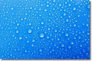
Evaporation is the process which returns water from the earth
back to the atmosphere, and is another crucial process in the water cycle.
Evaporation is the transformation of liquid into gas, and it happens because
molecules are excited by the application of energy and turn into vapor.
In order for water to evaporate it has to be on the surface of a body of water.
Next Topic: Fog
Weather Topic: What are Fractus Clouds?
Home - Education - Cloud Types - Fractus Clouds
 Next Topic: Freezing Rain
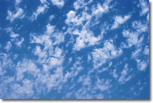
A fractus cloud (scud) is a fragmented, tattered cloud which has
likely been sheared off of another cloud. They are accessory clouds, meaning they
develop from parent clouds, and are named in a way which describes the original
cloud which contained them.
Fractus clouds which have originated from cumulus clouds are referred to as
cumulus fractus, while fractus clouds which have originated from stratus clouds
are referred to as stratus fractus. Under certain conditions a fractus cloud might
merge with another cloud, or develop into a cumulus cloud, but usually a
fractus cloud seen by itself will dissipate rapidly.
They are often observed on the leading and trailing edges of storm clouds,
and are a display of wind activity.
Next Topic: Freezing Rain
Current conditions powered by WeatherAPI.com


